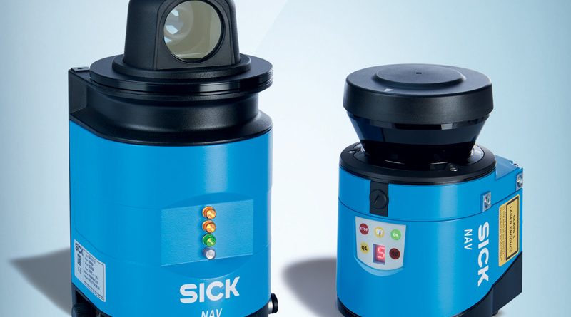
Sensor with integrated position calculation
SICK’s 2D LiDAR NAV sensor series was created for navigation applications on AGVs and automatically guided forklifts. To do so, this series detects natural profiles or artificial landmarks (flat or cylindrical reflectors) and uses them to map the environment and accurately calculate the absolute position of the vehicle.
According to the required application, different sensor declinations are available. For indoor use, for example, the NAV350 is the winning solution. This version gives the possibility to map the area in three different outputs: only the reflectors position, the complete profile of the scanned surface or just the absolute position. The 2D LiDAR sensor has a working range of up to 70 m on flat or cylindrical reflectors and up to 250 m on white objects. Therefore, it can also be used for navigation purposes inside warehouses, using up to 12,000 reflectors, or for loading pallets on trucks. Everything is made easier and safer by the detection of the absolute position, which allows for an accurate positioning of objects up to 4 mm.
Communication with the other sensors is based on the Ethernet protocol, for a quick exchange of information.

